home » news » random debris
Finding planes
I’ve spent a little time taking part in the aerial web search for the missing plane, MH370. Here are a few useful links I’ve found, and tips if you’re considering having a go. It’s good to have Photoshop or Gimp on hand… as well as an internet connection.

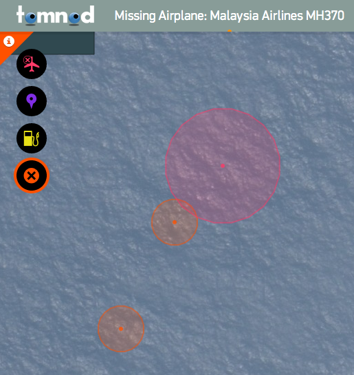
TOMNOD screenshot
- TOMNOD MH370 grid search: link
- Boeing 777-200 safety card, with emergency slide positions: link
- Boeing 777 liferaft information: link and then scroll
- Boeing 777 product page: link
- Boeing 777 drawings with dimensions: link
- Malaysian Air livery: search at google images.
Step 1: Scan the aerial photos -TOMNOD will drop you somewhere in the Indian Ocean and you can navigate from there. You can create a login to keep track, but it’s optional. Bear in mind that the scale is small, the ruler at the bottom should give you an idea of the approximate size of a 777 (63.7m long with a 60.9m wing span). Remember the aircraft may have broken up so also keep an eye open for yellow octagonal liferafts and grey slide-rafts. Also note that these images were taken a few days later. When you think you’ve seen something…
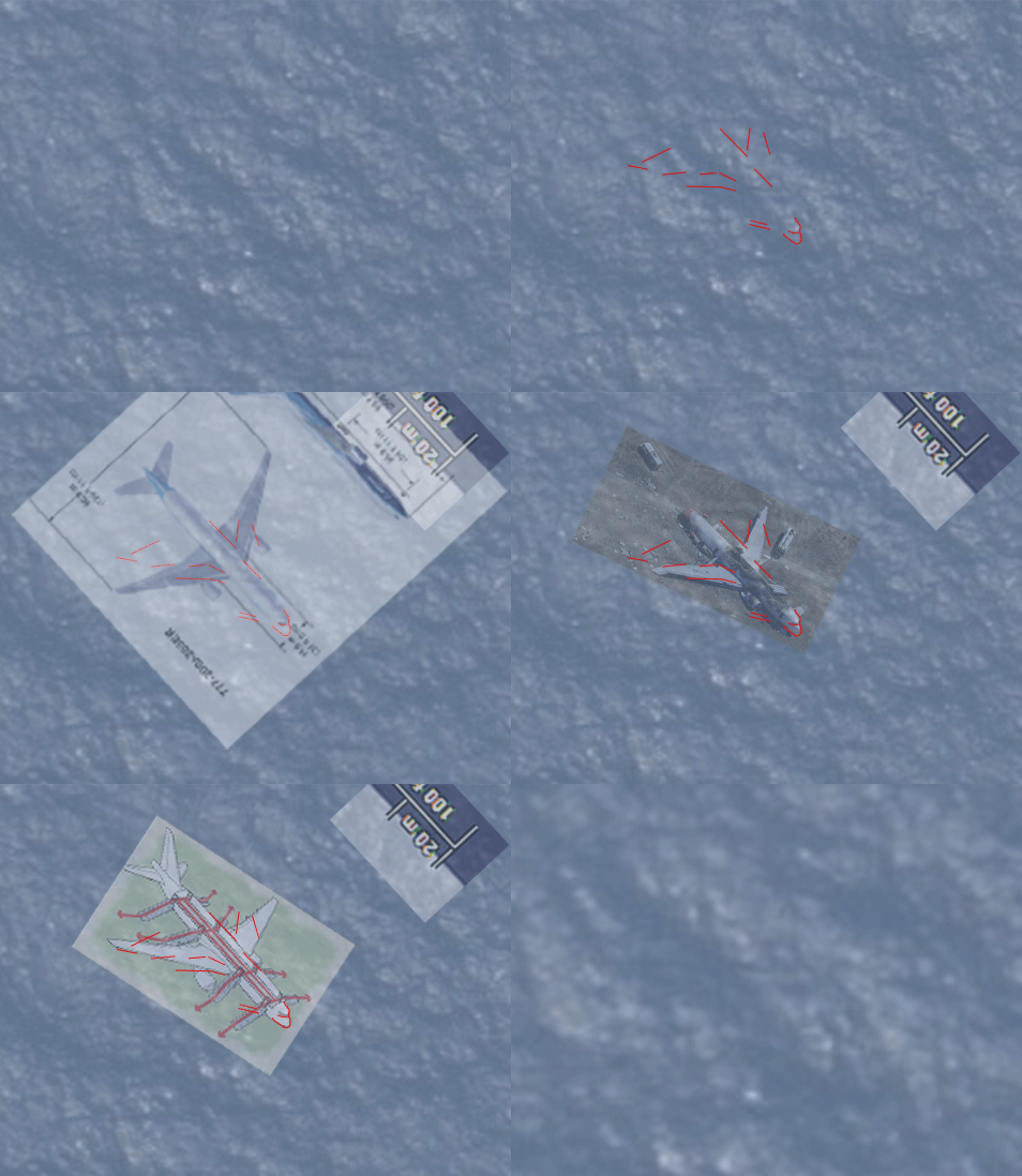
Step 2: Screenshot the area of interest (on a mac hold command+shift+control+4) and paste it into a new photoshop document. Zoom in. Adjust the levels to darken it a bit. If you think it’s a contender, enlarge the image two or three times.
Step 3: Paste in the plane plan from the boeing link above and scale to the correct size using the ruler. If it still looks like a possibility, use the TOMNAD controls to register the location.
Here’s my example. It’s from the upper left of map 114154. I thought I found some liferafts nearby too, but it’s always going to be a long shot.

Posted by Peter on 20.03.14 in random debris
comment
Nearly 3 months later and we are still cutting and pasting and we have not found it….
Who needs unmanned submarines.
by Mike Nowson on 12 July 2014 ·#
Commenting is closed for this article.